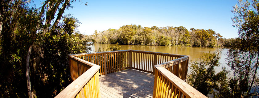
Bayou Vermilion Paddle Trail
The Bayou Vermilion Paddle Trail map is the result of collaboration between the Bayou Vermilion District, Lafayette Consolidated Government, CGI, and the Bayou Vermilion Preservation Association. United by Project Front Yard’s efforts to beautify public spaces including the Vermilion River, the trail map is intended to facilitate and enhance the public’s enjoyment of Bayou Vermilion. Canoers, kayakers, and boaters will be able to locate and identify points of interest along the waterway. Recreation areas, boat and canoe launches, businesses and other amenities, as well as areas of historical interest are highlighted and identified. Please use Bayou Vermilion Paddle Trail app to navigate your way in and around the bayou and to learn more about its history and offerings.


